Premium Weather Discussion 1-3-22
Premium Weather Discussion 1-3-22
Short Range Outlook
Monday and Tuesday we are controlled by an area of high pressure that will keep us quiet before the next couple systems that will impact our area.
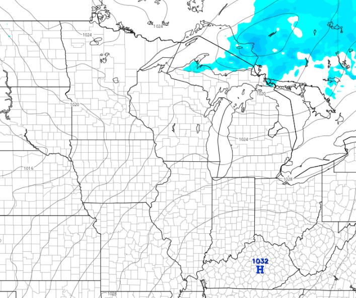
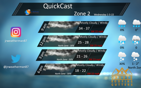
Our next system will impact the area on Wednesday that will bring wind and snow. This is a clipper that is coming out of Canada and will also bring a reinforcement of cold air.
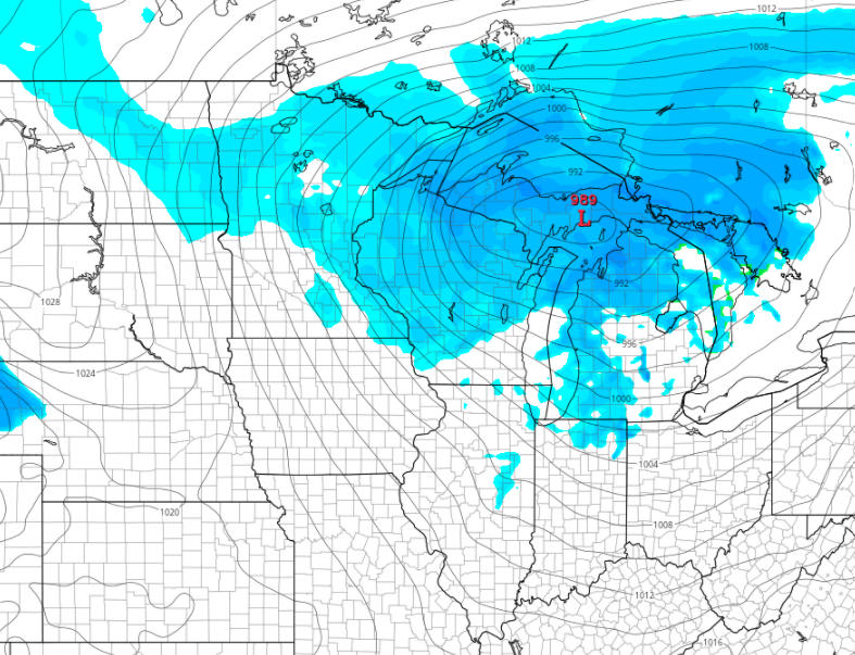
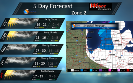
Snowfall Probability Map for Wednesday looking like this. Most favorable area will be western MI with the lake effect.

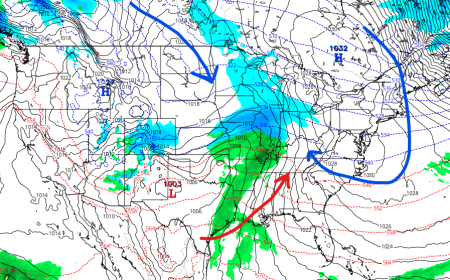
Our next system comes Thursday evening into Friday. Some models have this system, some do not. This is a look at the Euro model that has been really good at handling these types of set ups. The high pressure to the north with the low track to the north. The moisture meet up will create a decent snow maker on the north side of the low. This has been tracking further NW each run. This is something I will keep an eye on.
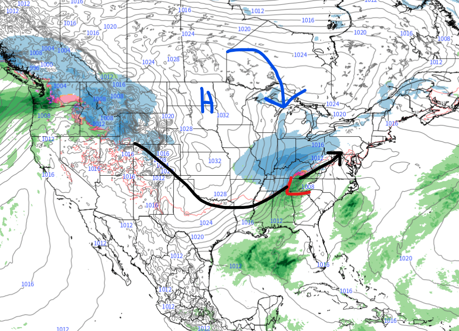
Most GEFS members showing the system as well for Friday morning. I will keep updating on this as this was showed in the Bering Sea as well.

Mid Range Outlook
10 Day temp outlook for the Fort Wayne area. As you can see temps will be cold enough to support snow for the Thursday, Friday system.

The PNA stays in a positive phase, which will help keep the eastern US cold and will help support snow systems.

Long Range Outlook
Based on the Bering Sea Rule, we see around Jan 26 – 28th time frame a few systems taking a great Ohio Valley track. These would impact our area with snow storms, if this does verify.

Early look at start of Feb showing a few more systems that will impact our area as well.

