Premium Weather Discussion 1-10-22
Premium Weather Discussion 1-10-22
Short Range Outlook
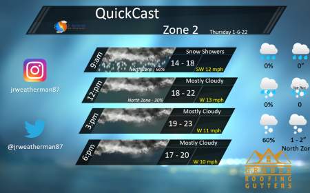
Lake effect snow for today mainly for north and northwest IN today. Snowfall amounts of 1-2 inches at most.
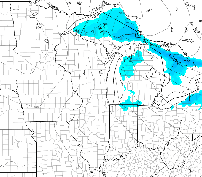
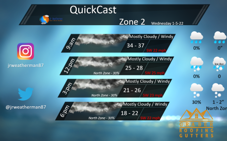
Wednesday we see more lake effect snow, mainly for central and southern MI. This should not accumulate to much.
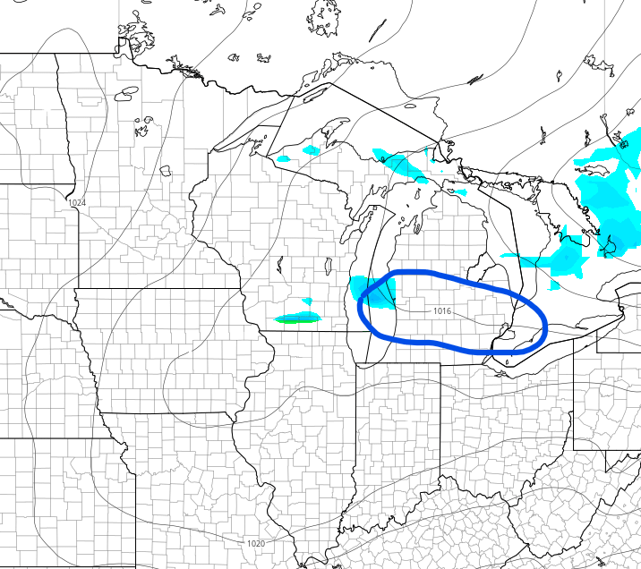
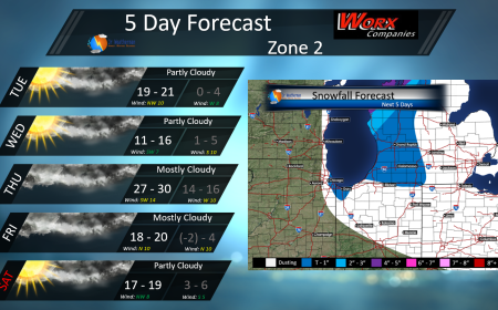
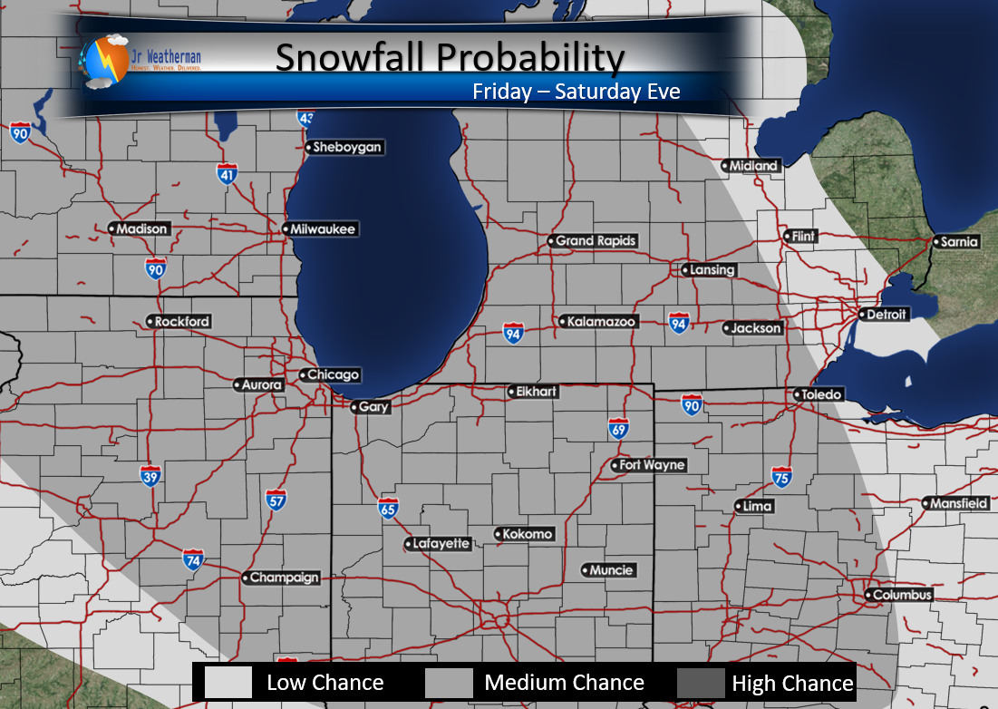
The next shot of winter weather comes Friday night – Sunday morning. This could bring a few inches to our area. I am still monitoring for exact numbers on this but a good 2-3 inches is very possible.

My Snowfall Probability Map showing the snow that comes in this weekend. This is based from different models combined. This is a fluid forecast and will change, and something I am watching closely.
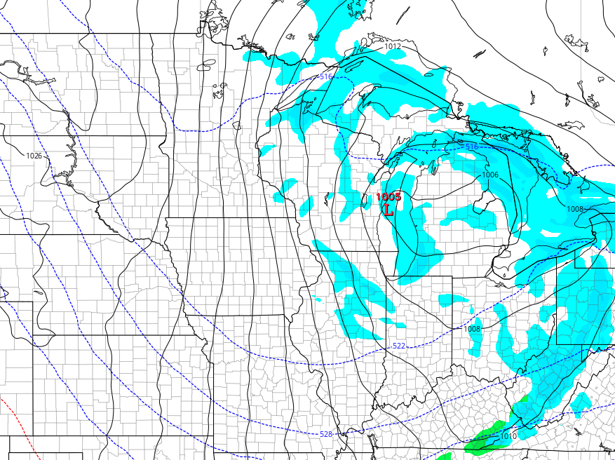
More lake effect behind this system will linger from Sunday – Tuesday.
Mid Range Outlook
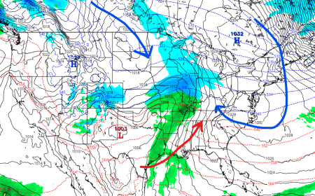
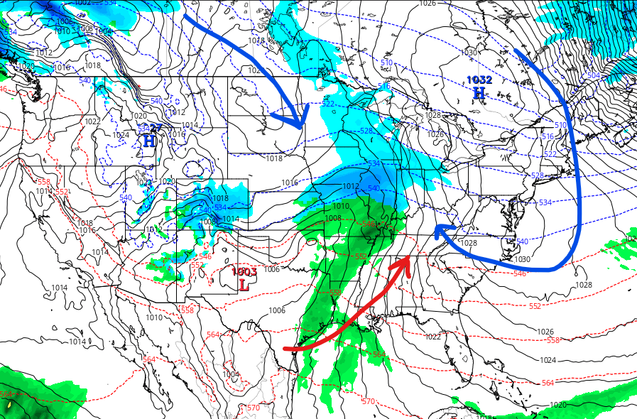
I have talked about the 20th time frame for about 2-3 weeks now. Here we see the GFS showing a system get its act together. A HP to our Northeast will allow cold air to work into the system. A low to our SW brings in moisture, and a HP to our northwest will bring cold air south.
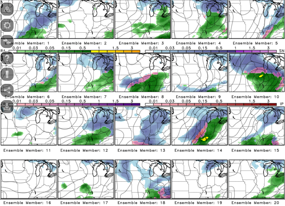
The GEFS showing the system but with different solutions for the Jan 20th system. I will continue to monitor this.
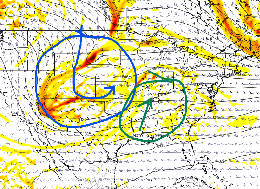
Energy and cold coming down from Canada will meet up with warm moist air coming from the south. If these pieces of energy will create a decent snow for our area for the Jan 20th time frame.
Long Range Outlook
Still watching the end of the month for some kind of system to move into our area in the east which would bring snow to our area.
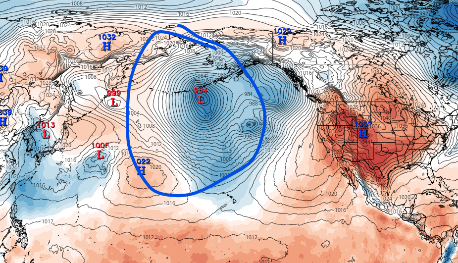
The Bering Sea showing a train of low pressures moving in a favorable direction to give us snowstorms. The black line on the left would be the same track in the Ohio Valley track. This is something I will monitor as we head closer towards Feb.

